Dateiliste
Diese Spezialseite listet alle hochgeladenen Dateien auf.
Erste Seite |
Vorherige Seite |
Nächste Seite |
Letzte Seite |
| Datum | Name | Vorschaubild | Größe | Beschreibung | Versionen |
|---|---|---|---|---|---|
| 21:55, 25. Sep. 2006 | Yellow.jpg (Datei) |  |
3 KB | just yellow | 1 |
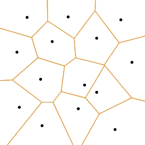
| 21:01, 19. Jan. 2006 | Voronoi diagramm.jpg (Datei) |  |
35 KB | Source: http://de.wikipedia.org/wiki/Bild:Voronoi_diagramm.jpg | 1 |
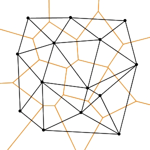
| 21:02, 19. Jan. 2006 | Voronoi delaunay.jpg (Datei) |  |
58 KB | Source: http://de.wikipedia.org/wiki/Bild:Voronoi_delaunay.jpg | 1 |
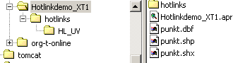
| 14:04, 11. Dez. 2005 | Verzeichnisstruktur hotlinkdemo.png (Datei) | 4 KB | 2 | ||
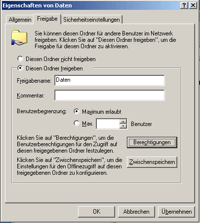
| 14:04, 11. Dez. 2005 | Verzeichnisfreigabe Windows 2000.gif (Datei) |  |
11 KB | 2 | |
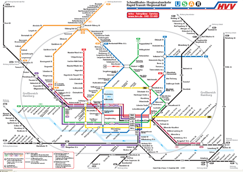
| 20:19, 4. Mai 2006 | Verkehrsverbundsplan.jpg (Datei) |  |
179 KB | 1 | |
| 22:22, 28. Feb. 2006 | Usage.png (Datei) |  |
3 KB | 5 | |
| 14:04, 11. Dez. 2005 | Update.png (Datei) |  |
1 KB | 2 | |
| 14:46, 27. Jan. 2006 | Triangulation.GIF (Datei) |  |
3 KB | quelle: http://upload.wikimedia.org/wikipedia/de/thumb/a/aa/Triangulation.GIF/180px-Triangulation.GIF | 1 |
| 20:13, 4. Mai 2006 | Topologie.gif (Datei) |  |
2 KB | 1 | |
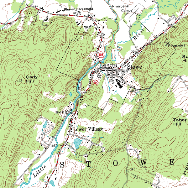
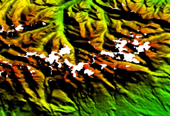
| 22:15, 16. Jul. 2008 | Topographic map example.png (Datei) |  |
152 KB | Quelle: http://en.wikipedia.org/wiki/Image:Topographic_map_example.png == English description == An inset from the USGS topographic map of Stowe, Vermont, USA, featuring 20-foot contour intervals. The scale is 1:24,000. == Source and copyrights == '''So | 1 |
| 14:04, 11. Dez. 2005 | Tn gross.jpg (Datei) |  |
47 KB | 2 | |
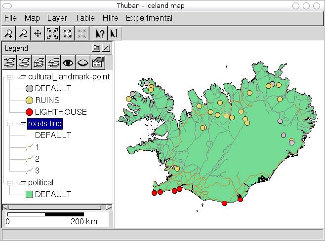
| 17:38, 5. Mär. 2006 | Thuban hauptfenster.jpg (Datei) |  |
60 KB | 1 | |
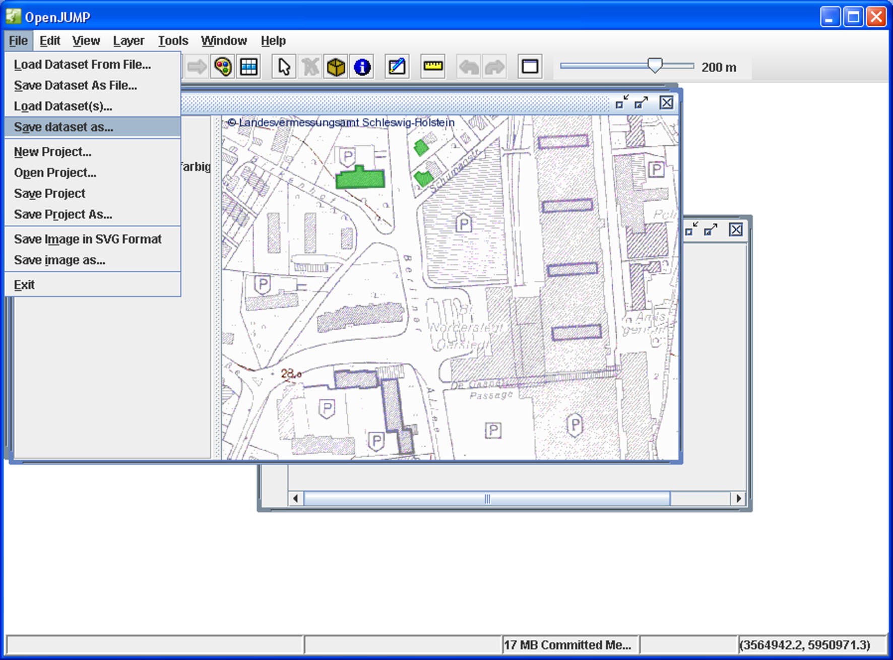
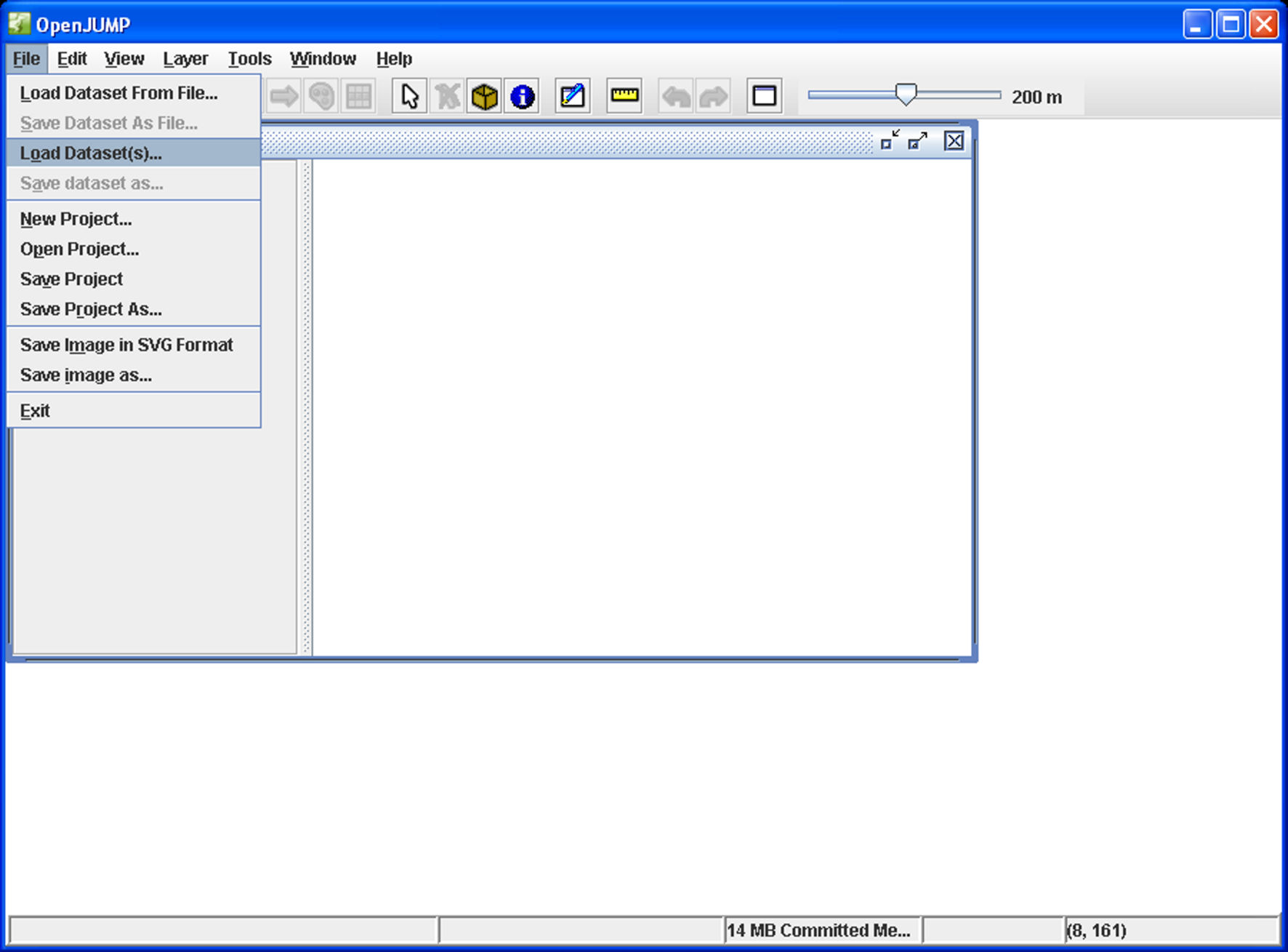
| 18:00, 4. Nov. 2006 | Testdaten PostGIS Tutorial.zip (Datei) | 8 KB | In Testdaten_PostGIS_Tutorial.zip befindet sich eine SQL-Datei und JUMP-Dateien mit den Geometrien für die Beispiele des PostGIS Tutorials. Allerdings müssen die Layer (jml-Dateien) aus OpenJUMP in eine [[PostGIS]-Datenbank übertragen werden, u | 1 | |
| 13:04, 11. Dez. 2005 | Test.zip (Datei) | 5 KB | 1 | ||
| 13:02, 11. Dez. 2005 | Test.png (Datei) |  |
2 KB | 1 | |
| 14:03, 11. Dez. 2005 | Switzerland flag medium.png (Datei) |  |
255 Bytes | 2 | |
| 16:07, 27. Dez. 2007 | Stop sign.png (Datei) |  |
5 KB | Quelle: http://de.wikipedia.org/wiki/Bild:Stop_sign.png | 1 |
| 14:03, 11. Dez. 2005 | Sprachueberpruefung.gif (Datei) | 3 KB | 2 | ||
| 14:02, 11. Dez. 2005 | Smileys40.gif (Datei) |  |
512 Bytes | 2 | |
| 14:02, 11. Dez. 2005 | Smile.png (Datei) |  |
248 Bytes | 3 | |
| 14:02, 11. Dez. 2005 | Shp2dxf.zip (Datei) | 3 KB | 2 | ||
| 18:19, 11. Dez. 2006 | Screenshot libral.jpg (Datei) |  |
60 KB | Quelle: http://sourceforge.net/project/screenshots.php?group_id=123937 | 1 |
| 19:58, 19. Jan. 2006 | Screenshot gvSIG.png (Datei) |  |
1,3 MB | == Summary == Screenshot of the Open Source GIS software gvSIG == Licensing == {{GFDL}} == Source == http://en.wikipedia.org/wiki/Image:Screenshot_gvSIG.png | 1 |
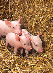
| 13:08, 9. Dez. 2005 | Schweinchen3.jpg (Datei) |  |
55 KB | 1 | |
| 14:02, 11. Dez. 2005 | Schweinchen2.jpg (Datei) |  |
55 KB | 1 | |
| 14:03, 11. Dez. 2005 | SRTM Fehldaten.jpg (Datei) |  |
68 KB | 2 | |
| 14:03, 11. Dez. 2005 | SRTM-Kuste.jpg (Datei) |  |
34 KB | 2 | |
| 14:02, 11. Dez. 2005 | Reddot.gif (Datei) |  |
110 Bytes | 3 | |
| 20:14, 19. Jan. 2006 | Red copyright.svg (Datei) |  |
2 KB | Source: http://en.wikipedia.org/wiki/Image:Red_copyright.svg | 1 |
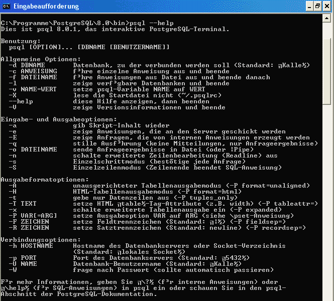
| 14:01, 11. Dez. 2005 | Psql--help.gif (Datei) |  |
29 KB | 2 | |
| 14:01, 11. Dez. 2005 | Pseudond.png (Datei) | 367 Bytes | 2 | ||
| 20:18, 12. Dez. 2006 | Praxishandbuch WebGIS Freie Software.pdf (Datei) |  |
1,22 MB | Dieser Text ist urheberrechtlich geschützt und wird hier unter der Documentation GPL (http://www.gnu.org/licenses/fdl.html) freigegeben, d.h. die Texte dürfen kopiert und unveränderte Kopien verbreitet werden. Praxishandbuch WebGIS mit Freier Softwar | 1 |
| 00:14, 26. Sep. 2006 | PostGIS Tutorial img 0.jpg (Datei) |  |
57 KB | 3 | |
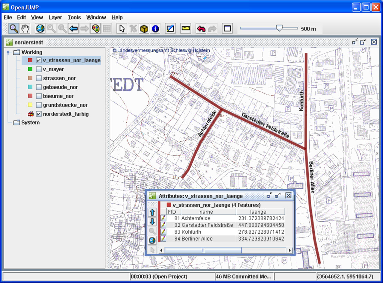
| 17:24, 26. Sep. 2006 | PostGIS Tutorial View v strassen nor laenge in OpenJUMP.jpg (Datei) |  |
289 KB | Quelle: PostGIS Tutorial (Grundlagen), Version 3/2006, HafenCity Universität Hamburg, Department Geomatik Lizenz: GNU Free Documentation License | 1 |
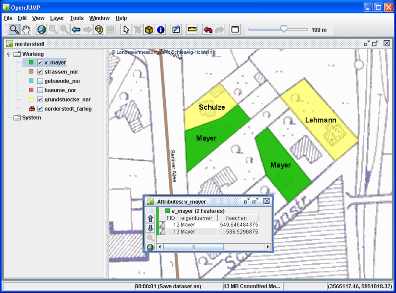
| 19:01, 26. Sep. 2006 | PostGIS Tutorial View v mayer in OpenJUMP.jpg (Datei) |  |
204 KB | Quelle: PostGIS Tutorial (Grundlagen), Version 3/2006, HafenCity Universität Hamburg, Department Geomatik Lizenz: GNU Free Documentation License | 1 |
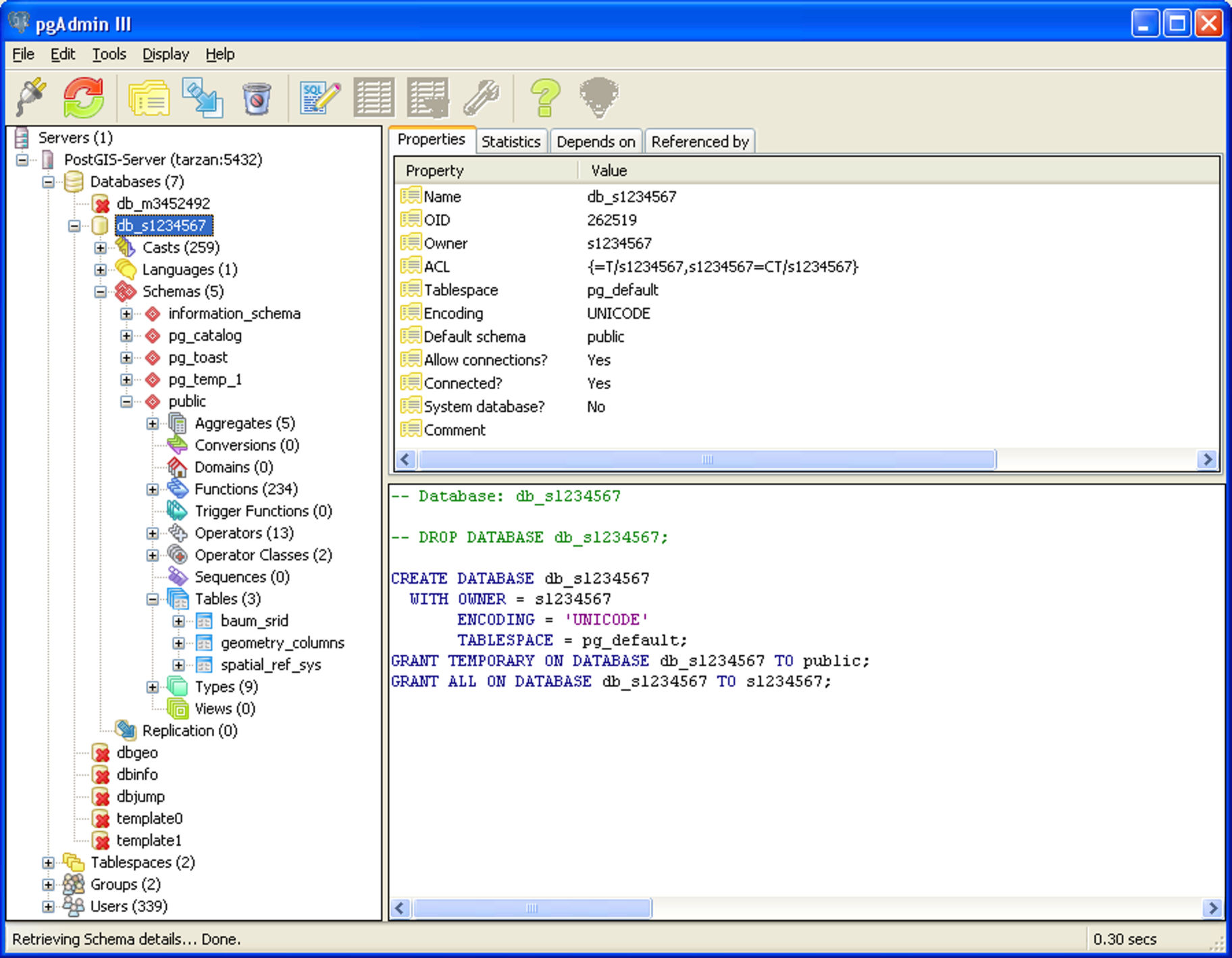
| 00:30, 26. Sep. 2006 | PostGIS Tutorial Tabellen Schema public.jpg (Datei) |  |
272 KB | Quelle siehe PostGIS Tutorial | 1 |
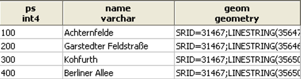
| 17:14, 26. Sep. 2006 | PostGIS Tutorial Tabelle strassen nor.jpg (Datei) | 49 KB | Quelle: PostGIS Tutorial (Grundlagen), Version 3/2006, HafenCity Universität Hamburg, Department Geomatik Lizenz: GNU Free Documentation License | 1 | |
| 12:52, 26. Sep. 2006 | PostGIS Tutorial Tabelle speichern b.jpg (Datei) |  |
69 KB | Quelle: PostGIS Tutorial (Grundlagen), Version 3/2006, HafenCity Universität Hamburg, Department Geomatik Lizenz: GNU Free Documentation License | 1 |
| 12:51, 26. Sep. 2006 | PostGIS Tutorial Tabelle speichern a.jpg (Datei) |  |
307 KB | Quelle: PostGIS Tutorial (Grundlagen), Version 3/2006, HafenCity Universität Hamburg, Department Geomatik Lizenz: GNU Free Documentation License | 1 |
| 18:33, 26. Sep. 2006 | PostGIS Tutorial Tabelle schulen nor.jpg (Datei) | 38 KB | Quelle: PostGIS Tutorial (Grundlagen), Version 3/2006, HafenCity Universität Hamburg, Department Geomatik Lizenz: GNU Free Documentation License | 1 | |
| 12:26, 26. Sep. 2006 | PostGIS Tutorial Tabelle laden b.jpg (Datei) |  |
141 KB | Quelle: PostGIS Tutorial (Grundlagen), Version 3/2006, HafenCity Universität Hamburg, Department Geomatik Lizenz: GNU Free Documentation License | 1 |
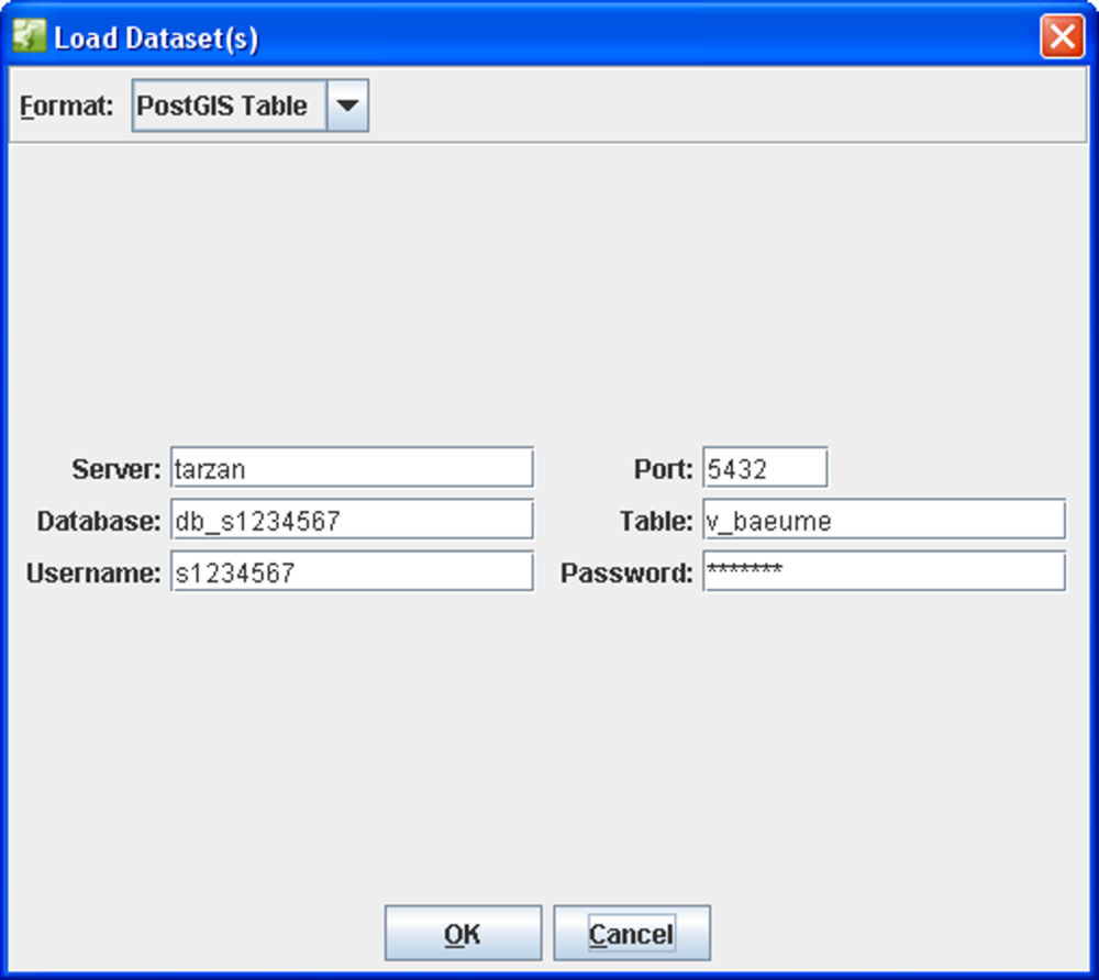
| 12:30, 26. Sep. 2006 | PostGIS Tutorial Tabelle laden.jpg (Datei) |  |
57 KB | Quelle: PostGIS Tutorial (Grundlagen), Version 3/2006, HafenCity Universität Hamburg, Department Geomatik Lizenz: GNU Free Documentation License | 1 |
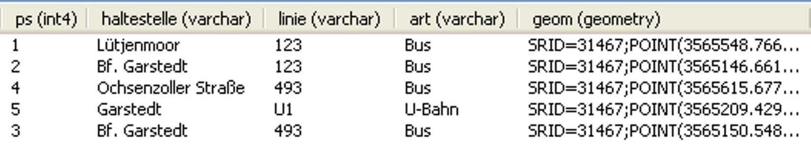
| 18:35, 26. Sep. 2006 | PostGIS Tutorial Tabelle haltestellen nor.jpg (Datei) | 66 KB | Quelle: PostGIS Tutorial (Grundlagen), Version 3/2006, HafenCity Universität Hamburg, Department Geomatik Lizenz: GNU Free Documentation License | 1 | |
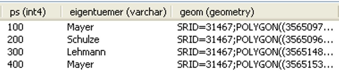
| 18:48, 26. Sep. 2006 | PostGIS Tutorial Tabelle grundstuecke nor.jpg (Datei) | 43 KB | Quelle: PostGIS Tutorial (Grundlagen), Version 3/2006, HafenCity Universität Hamburg, Department Geomatik Lizenz: GNU Free Documentation License | 1 | |
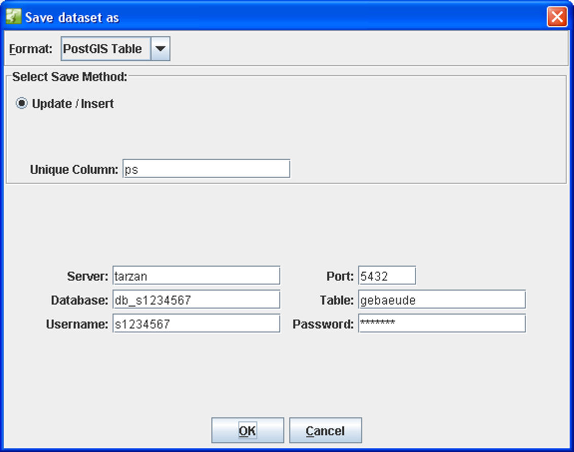
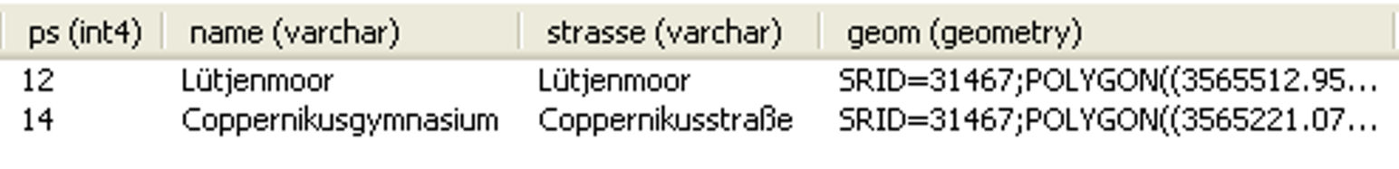
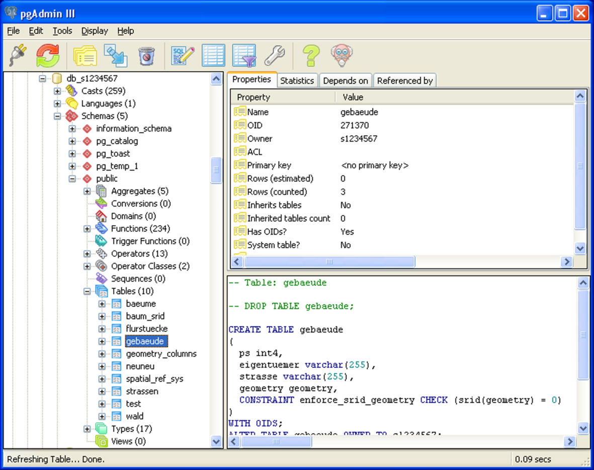
| 12:55, 26. Sep. 2006 | PostGIS Tutorial Tabelle gebaeude in der Datenbank db s1234567.jpg (Datei) |  |
170 KB | Quelle: PostGIS Tutorial (Grundlagen), Version 3/2006, HafenCity Universität Hamburg, Department Geomatik Lizenz: GNU Free Documentation License | 1 |
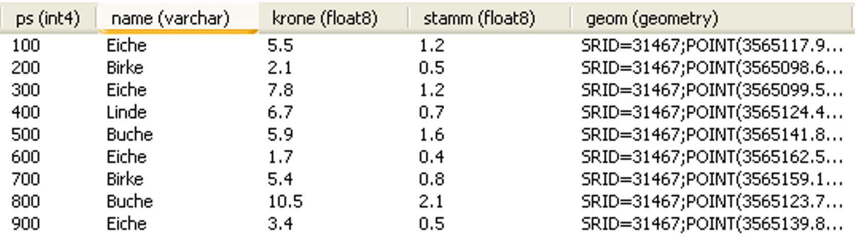
| 19:11, 26. Sep. 2006 | PostGIS Tutorial Tabelle baeume nor.jpg (Datei) |  |
92 KB | Quelle: PostGIS Tutorial (Grundlagen), Version 3/2006, HafenCity Universität Hamburg, Department Geomatik Lizenz: GNU Free Documentation License | 1 |
| 10:10, 27. Sep. 2006 | PostGIS Tutorial Sieben von neun Bäumen stehen auf den privaten Grundstücken.jpg (Datei) | PostGIS_Tutorial_Sieben_von_neun_Bäumen_stehen_auf_den_privaten_Grundstücken.jpg | 258 KB | Quelle: PostGIS Tutorial (Grundlagen), Version 3/2006, HafenCity Universität Hamburg, Department Geomatik Lizenz: GNU Free Documentation License | 1 |
| 10:12, 27. Sep. 2006 | PostGIS Tutorial Sieben Bäume stehen auf den privaten Grundstücken.jpg (Datei) | PostGIS_Tutorial_Sieben_Bäume_stehen_auf_den_privaten_Grundstücken.jpg | 40 KB | Quelle: PostGIS Tutorial (Grundlagen), Version 3/2006, HafenCity Universität Hamburg, Department Geomatik Lizenz: GNU Free Documentation License | 1 |
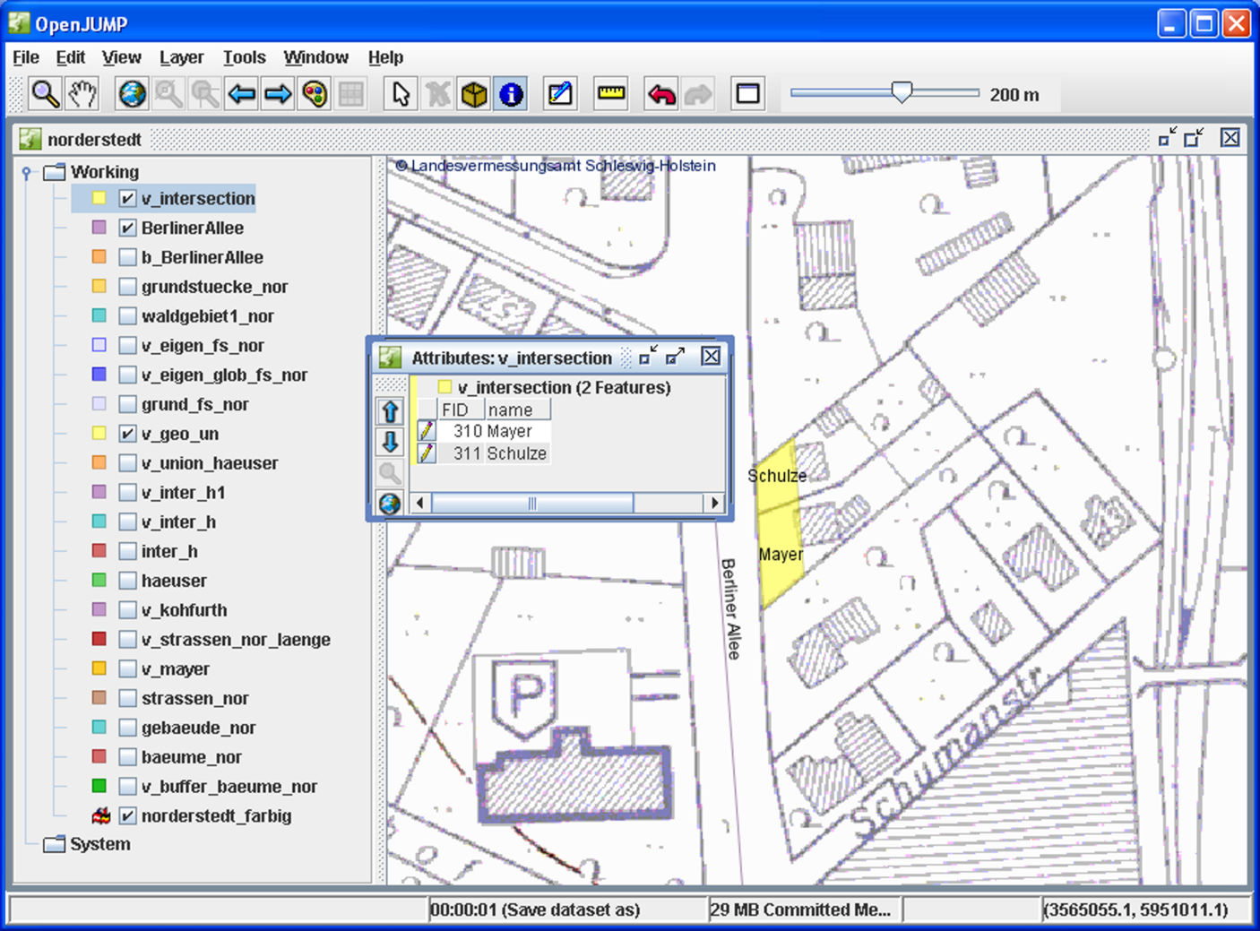
| 21:21, 26. Sep. 2006 | PostGIS Tutorial Schulze und Mayer sind betroffen.jpg (Datei) |  |
268 KB | Quelle: PostGIS Tutorial (Grundlagen), Version 3/2006, HafenCity Universität Hamburg, Department Geomatik Lizenz: GNU Free Documentation License | 1 |
Erste Seite |
Vorherige Seite |
Nächste Seite |
Letzte Seite |